A digital tachograph is a device that stores ‘driver activity’; which includes vehicular movements, driver rest periods, and border crossings. With a few exceptions, any vehicle used for commercial purposes and weighing more than 3.5 tonnes, or having more than 9 seats, must have a digital tachograph installed (e.g. HGVs and coaches). From July 2026, this will extend to vehicles weighing between 2.5 tonnes and 3.5 tonnes travelling on international road haulage journeys (i.e. not travelling solely within the UK).
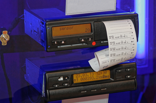
The digital tachograph itself is fitted into the vehicle and calibrated to record a detailed picture of the speed of the vehicle over the course of a journey. More recent versions of digital tachographs also record limited GPS data. By law all tachograph devices must be capable of storing 24 hours’ worth of second-by-second speed data, but some units can store up to 168 hours – noting that this is hours of driving, so if the vehicle is driven for 8 hours a day and retains 24 hours of data, there would be 3 days’ worth of driving speed data available.
Speed is a measure of distance against time (e.g. ‘kilometres’ per ‘ hour’) and armed with speed and time data it is a simple matter to calculate the distance a vehicle has travelled. By matching a vehicle’s speed, as recorded by the tachograph unit, and the distance covered to road features it is often possible to map the likely route taken to complete a journey. For example, a vehicle travelling at 90 km/h for a sustained period is likely to be on a motorway or similar road; a vehicle that travels at speed but slows at intervals before returning to travelling at speed is likely on a main road or dual carriageway punctuated with roundabouts. Mapping distances and speeds against features such as roundabouts and junctions allows for an expert to build up the likely route of the vehicle.
Knowing a vehicle’s location at any particular point in time, perhaps because of delivery or collection notes, or because of fuel or other receipts, provides a starting point for route tracing. It is therefore important to seize any such documentation as part of the route trace investigation.
Traditional investigative techniques for establishing where a person of interest has been often rely on evidence such as Cell Site Analysis or ANPR which are only capable of showing a vague area of interest – the coverage area of the mobile telephone mast (cell site), or a point-in-time location on a main road. Add to this the challenges associated with accessing digital data if multi-national travel is involved and that suspects are increasingly aware of their digital footprint and may turn off their phone or use GPS blocking devices before travelling to a point of interest, and the limitation of this type of investigative approach are self-evident.
Tachograph analysis can bypass these issues, as a tachograph device is a legally required, always-on system that can be readily secured by seizing the vehicle. It can provide the specific movements of a vehicle, even highlighting which industrial unit may have been visited rather than just a vague area. It can also assist in ascertaining if a trailer swap has occurred, whereby a driver may swap a trailer of legitimate goods for another containing illicit goods.
Ascertaining the route a vehicle has travelled can be critical for ascertaining the location of illicit goods loading, or investigating detours from collection/delivery routes. Tachograph analysis can also be useful for collision investigations involving HGV or other tachograph-equipped vehicles, whereby speed information can be viewed in the lead up to the point of collision, and drivers’ hours information can be assessed to ascertain if required breaks / rests were taken prior to any collision.
If you have any tachograph related query, or have any questions about how tachograph analysis or route tracing could help your investigation, then please do not hesitate to get in touch with a member of the tachograph team.